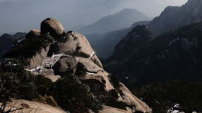
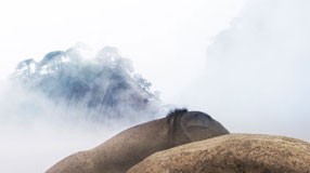
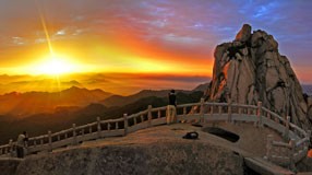
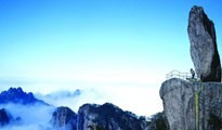
- Huangshan UNESCO Global Geopark
- Naturtejo UNESCO Global Geopark, Portugal
- Central Catalonia UNESCO Global Geopark, Spain
- Jiuhuashan UNESCO Global Geopark
- Yandangshan UNESCO Global Geopark
- Sanqingshan UNESCO Global Geopark
- Longhushan UNESCO Global Geopark
- Terra Vita UNESCO Global Geopark, Germany
- Huanggang Dabieshan UNESCO Global Geopark
- Fangshan UNESCO Global Geopark
- English Riviera UNESCO Global Geopark
- Guangwushan-Nuoshuihe UNESCO Global Geopark
- Zhijingdong Cave UNESCO Global Geopark
- Dali-Cangshan UNESCO Global Geopark
- Xiangxi UNESCO Global Geopark
- Yuntaishan UNESCO Global Geopark
- Linxia UNESCO Global Geopark
- Kanbula UNESCO Global Geopark
- Wudalianchi UNESCO Global Geopark
- Changbaishan UNESCO Global Geopark
- Algarvensis UNESCO Global Geopark, Portugal
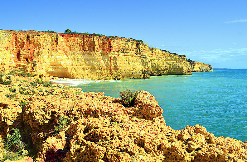
Algarvensis UNESCO Global Geopark is located in the Algarve region of southern Portugal, covering the municipalities of Loulé, Silves and Albufeira. It was designated as a UNESCO Global Geopark in 2026.
The geopark boasts extraordinary geodiversity, recording around 330 million years of geological evolution, with a wide range of rock types and landforms that witness major tectonic, volcanic and sedimentary processes. Two flagship geoheritage sites are the tsunami deposits at Lagoa dos Salgados, formed by the great 1755 Lisbon Earthquake, and the Loulé Salt Mine, one of Portugal’s deepest accessible underground sites, whose salt deposits formed in the ancient Tethys Sea 230 million years ago and supported local industry for centuries.
Its territory spans land and sea, featuring monogenetic volcanoes, columnar joints, karst caves, dolines, golden sandstone sea cliffs and fossil-rich coastal formations. The landscape is described as five colour zones: brown mountain zone, red hills, silver karst zone, golden coastal cliffs and blue marine area.
It preserves well-conserved Mediterranean ecosystems together with rich cultural heritage, including megalithic monuments, Roman and Islamic relics, traditional villages, local crafts and Mediterranean gastronomy. As the only UNESCO Global Geopark south of the Tagus River in Portugal, it focuses on geoheritage conservation, geoscience education and sustainable tourism to promote balanced local development.