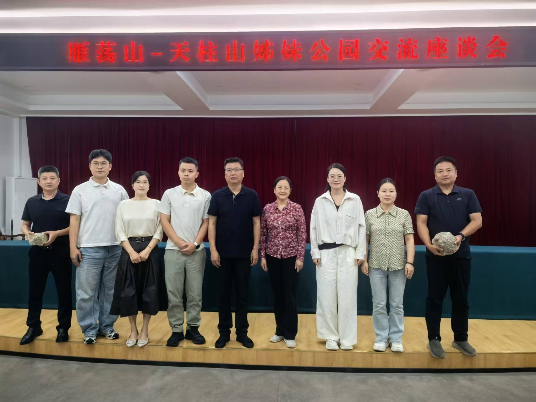
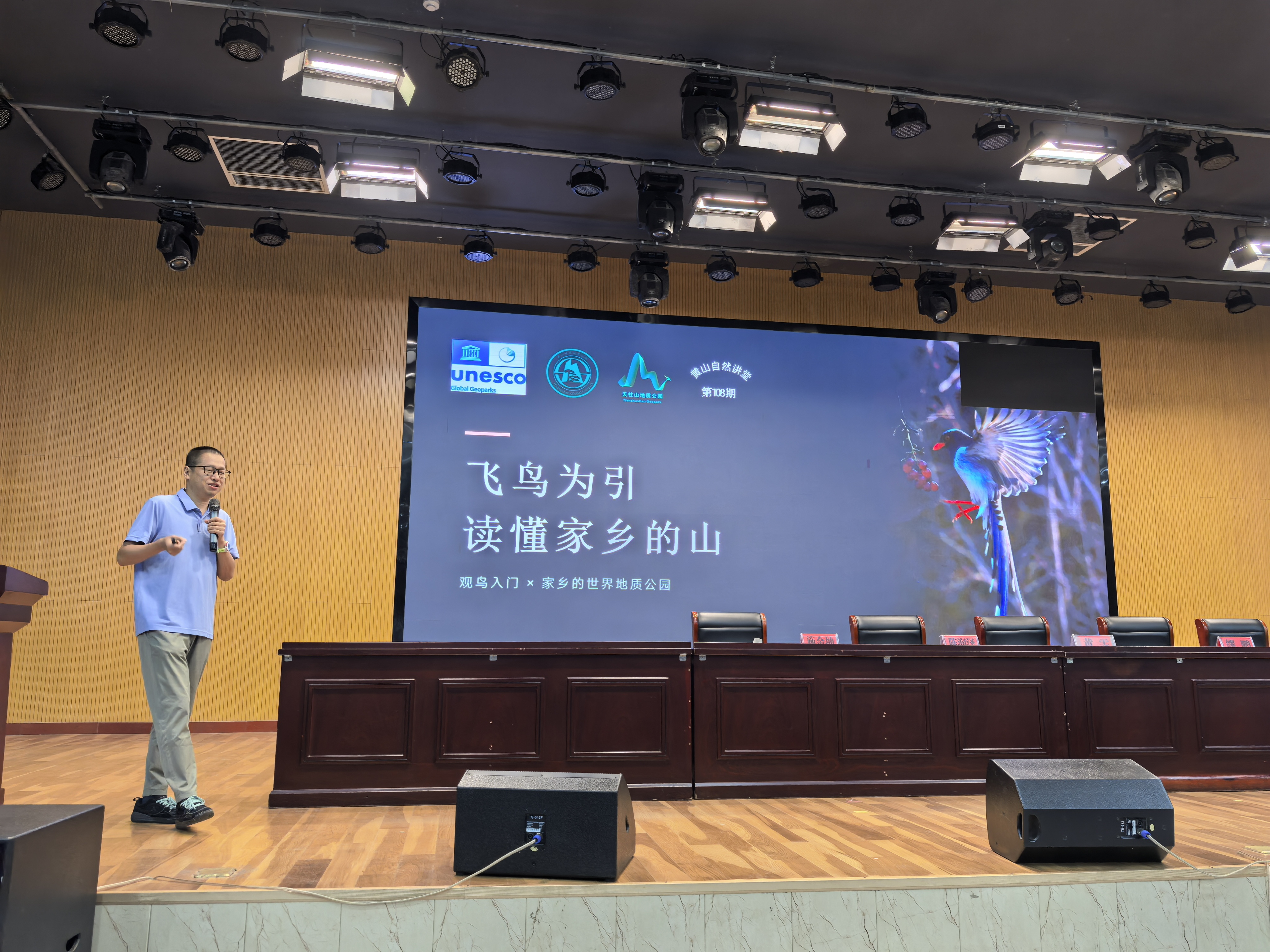
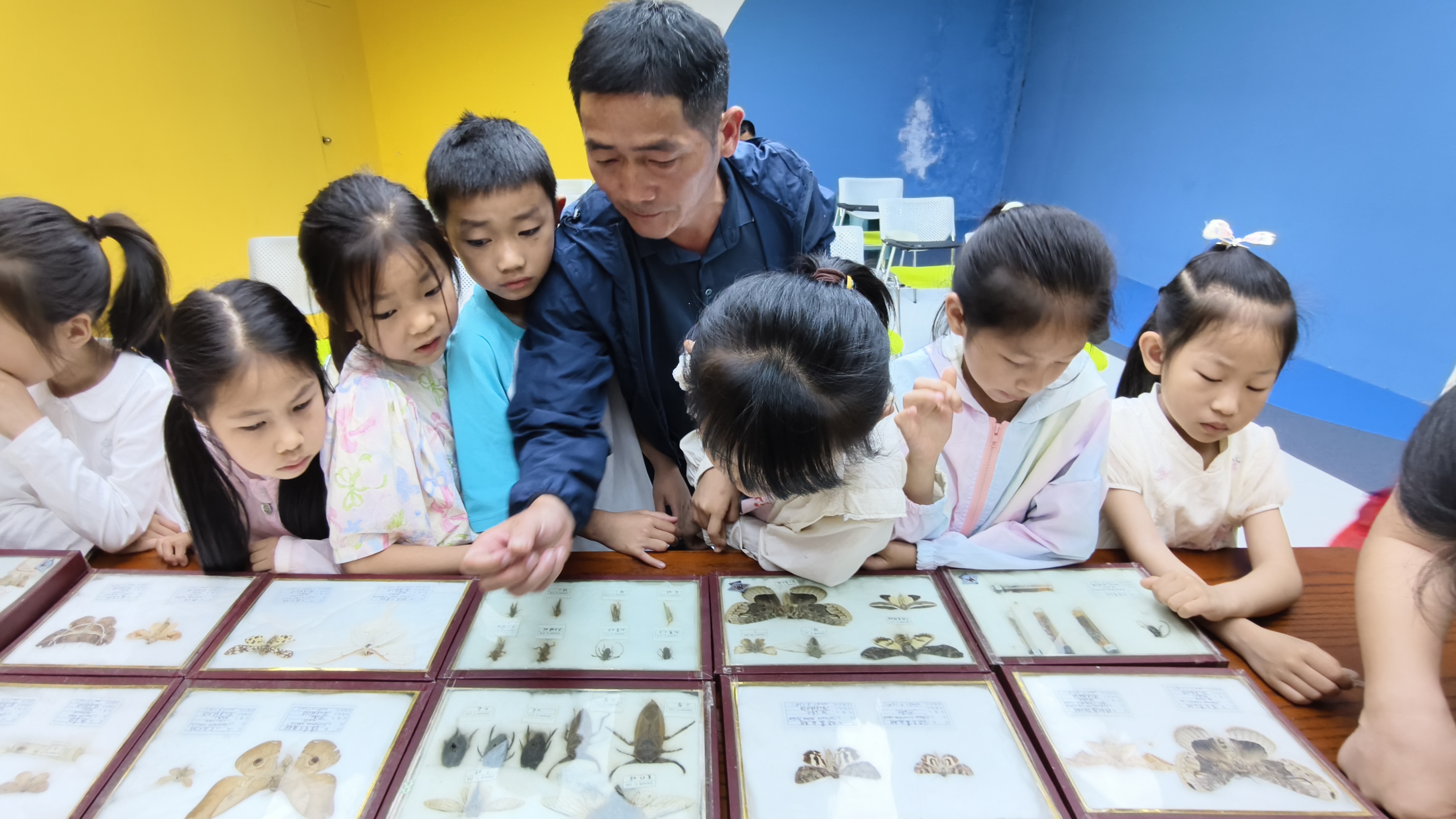
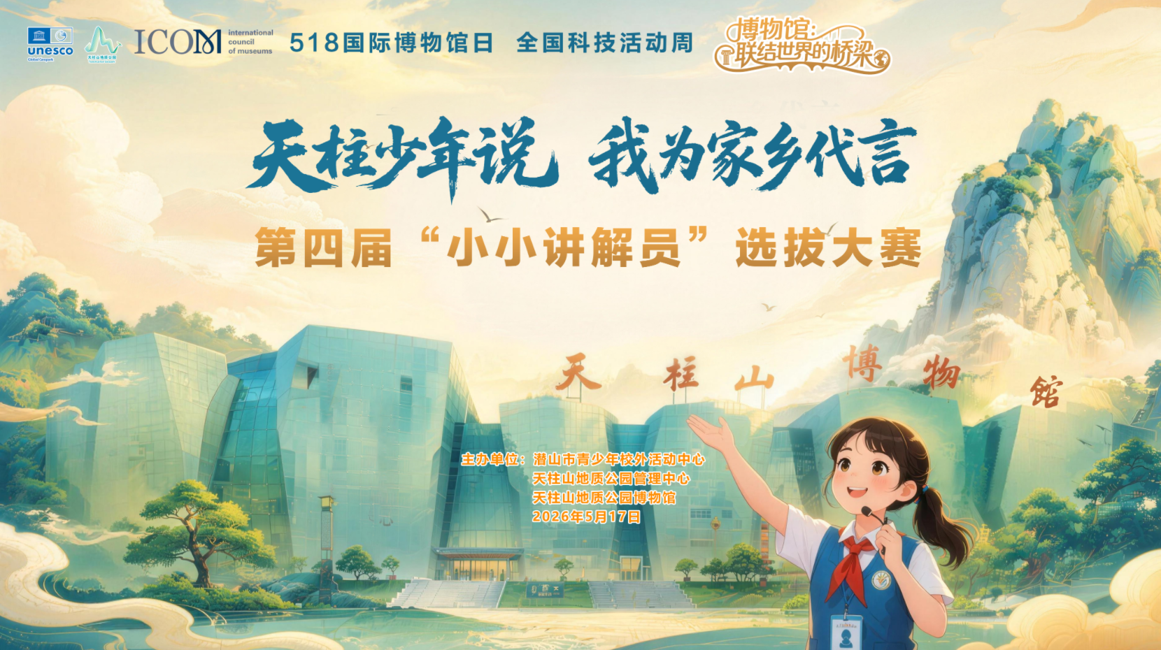
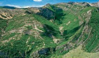
To popularize earth science knowledge and enhance awareness of natural resource conservation, Tianzhushan UNESCO Global Geopark will host a series of science popularization activities for the 57th World Earth Day and the 7th Asia Pacific Geopark Week. Through offline popularization and online interaction, we will explore the mysteries of geology and protect our common homeland.
More
Details
Amid the mountain
ranges of south-western Anhui lies Tianzhushan, known by geologists as a
“textbook of continental dynamics”. It is both a UNESCO Global Geopark and a National
AAAAA Tourist Attraction. Its northern section boasts magnificent granite peak
forests and spectacular landforms formed by rock collapse and accumulation. At
its southern foot runs the Dabieshan Ultrahigh Pressure Metamorphic Belt,
recording the billion-year-old epic of continental plate collision, subduction
and exhumation. In its piedmont basin lie fossils of dozens of prehistoric
species, earning it renown as “one of the birthplaces of Asian mammals”.
Endowed with such profound natural and geological heritage, how should this
mountain be conserved, interpreted and made accessible to visitors? In the
past, protection and management relied on rangers on foot, public-address
announcements and paper tickets. Today, big data is reshaping the answers.
Ⅰ.
A “Smart Network” Stretches Deep Into the Mountain
To enable smooth
flows of people, goods and information, robust signal coverage across the
mountain is essential. Qianshan City has leveraged its regional tourism big-data
center to iteratively upgrade three key projects: Smart Tianzhushan, regional
scenic-area monitoring, and Travel Qianshan in One App.
Construction of
the comprehensive Smart Tianzhushan platform began in 2006 in phases, with a
total investment of 35 million RMB. A 110-kilometer optical-fiber network (7.5
million RMB specifically for fiber-optic deployment) has been laid across
rugged mountain terrain. Gigabit dedicated lines from three major telecom
operators have been deployed to build an integrated communication network
covering park entrances, visitor centers, major scenic spots, core hiking
trails, cable-car stations and transfer hubs. Free Wi-Fi is available in high-visitor-density
zones, maintaining stable and high-speed connectivity even during peak tourist
seasons.
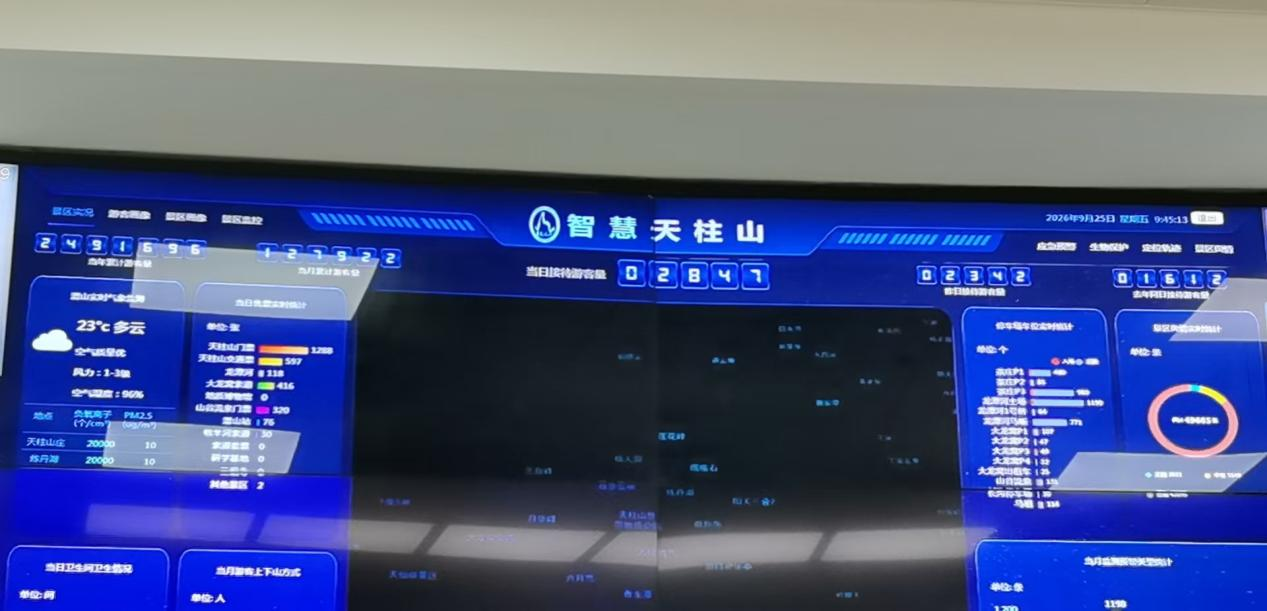
Centered on a data center and a monitoring-and-command hub, the platform features three major systems: smart services, smart management and safety assurance. It integrates modules including smart access control, video surveillance, information release, new-media operation and AI interaction. Regional scenic-area monitoring is connected to the supervision platform of Anhui Provincial Department of Culture and Tourism, breaking down data silos and laying solid hardware and software foundations for the digital transformation of Tianzhushan UNESCO Global Geopark.
Ⅱ.
Explore Qianshan With One Mobile Phone
For tourists, the
biggest change comes from Travel Qianshan in One App. Previously, visitors had
to queue for tickets and ask for directions on-site. Today, multilingual
official websites, WeChat mini‑programs and a full-range Douyin new-media
matrix deliver services online. Through a single mini-program entry, visitors
can complete reservation and ticket purchase, access guided tours and submit
complaints, delivering “all-in-one services via one portal”.
Once inside the geopark,
visitors can use touch-screen terminals at visitor centers or their mobile
phones for self-service tours, including scenic-spot navigation, audio
commentary, route planning, cultural-and-creative-product shopping and car-park
location search. A special senior-friendly mode offers enlarged fonts and
simplified operations for elderly visitors. An AI digital human, drawing on a
geotourism knowledge base, answers visitor questions. Tianzhushan Geopark Museum
features 720-degree VR panoramas and AR navigation, presenting immersive
science popularization experiences that interpret granite evolution and ancient
Wan culture. Data generated from visitor visits, inquiries and complaints
serves as a continuous feedback reference for geopark improvement.
Ⅲ.
The Invisible “Safety Officers”
Mountain-type
parks commonly face challenges: vast territories, scattered monitoring points,
heavy geoheritage conservation tasks and complex emergency‑response scenarios.
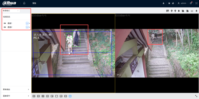
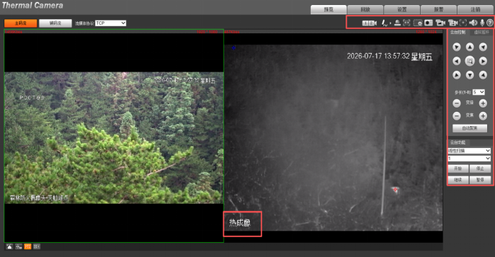
The big-data center fuses data from access-control ticketing, video
surveillance, environmental sensing, passenger‑flow statistics and geological
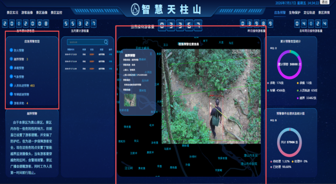
monitoring to form a comprehensive safety network. High-definition cameras keep
real-time watch over entrances, parking lots, visitor centers, hiking trails,
viewing platforms, commercial zones and cliff-edge sections.
Smart electronic
access gates support multiple verification methods including QR codes, ID
cards, IC cards, handheld ticket-check devices and dedicated mobile
applications. Combined with surveillance data, they generate passenger‑flow
heatmaps for different zones to predict visitor-volume peaks in advance. During
holidays, the geopark deploys security and rescue resources proactively based
on visitor profiles. When passenger-flow thresholds are exceeded, the system
triggers automatic alerts. The command-and-dispatch center immediately
allocates staff and transport capacity to enforce the principles of “visitor-volume
limits, advance reservations and staggered visits”.
Moreover, this
network safeguards geological heritage. Fossil sites and habitats of rare flora
and fauna are logged into a geographic‑information system. Combined with video
surveillance and regular drone patrols, this transforms geoheritage management
from traditional manpower‑intensive patrols into a digital conservation model
featuring pre-event early warning and on‑site intervention.
Ⅳ.
Data-Driven Management
Big data reveals
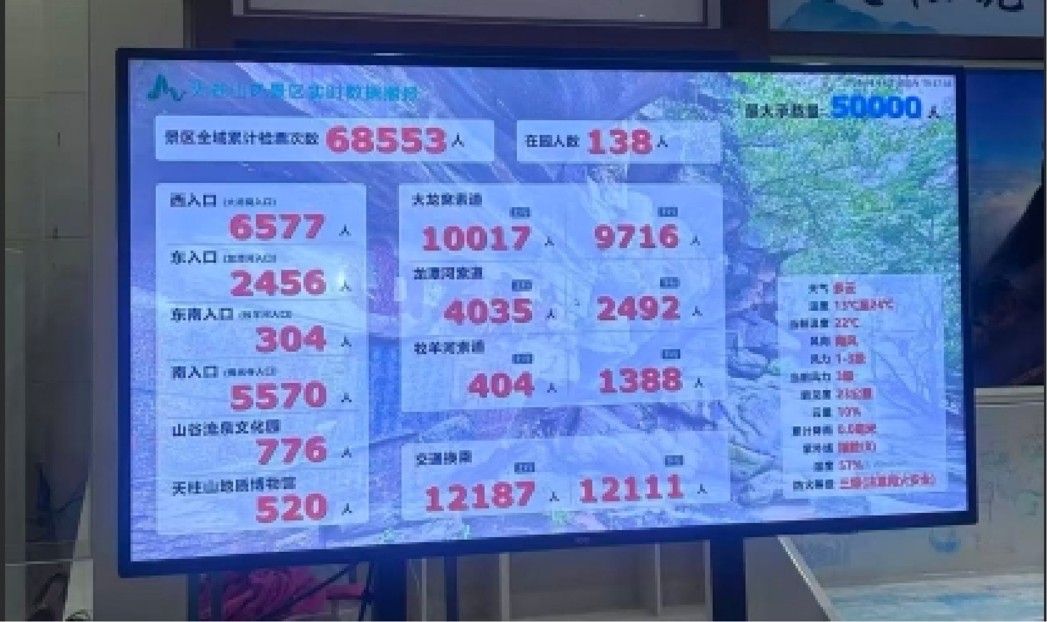
not only visitor movements but also underlying operational patterns. Real-time
park conditions, passenger-flow statistics, equipment maintenance and online
public opinion are visualized on large display screens. Administrators can
access ticketing records, real-time visitor volumes, equipment status and risk
alerts to grasp the full operational picture of the geopark.
Visitor profiles
help managers understand visitor origins, age demographics and travel
preferences. Such insights inform study-tour product development, promotional
campaigns and passenger-flow guidance. Based on popularity metrics for
individual scenic spots, human resources for conservation, rescue and visitor
services are allocated rationally, striking a balance between heritage
protection and tourism development. The platform automatically collects visitor
reviews from major online travel platforms, establishing a closed-loop
“collection-and-resolution” mechanism: every visitor comment drives tangible
operational improvements.
Ⅴ.
Bringing Tianzhushan to the World
Effective
promotion relies not only on compelling storytelling but also on identifying
target audiences. The geopark operates a digital marketing mechanism covering
official websites, WeChat mini-programs, official accounts and Douyin. It
regularly releases live streams and short-video content and collaborates with
social-media influencers for promotion. Comprehensive geopark information is
updated on online travel platforms and digital navigation maps to expand
outreach.
Drawing on big‑data
analysis of visitor consumption behavior, targeted marketing campaigns are
launched for key source markets such as the Yangtze River Delta and Wuhan
Metropolitan Area. AI large-models are adopted to generate high-quality
promotional copy and travel guides. Exposure metrics, visit volumes and order
conversion rates across all channels are intelligently monitored. A feedback
and performance-evaluation system forms a complete closed-loop workflow:
“launch-monitor-evaluate-optimize”, steadily enhancing the brand influence of
Tianzhushan UNESCO Global Geopark.
Ⅵ.
Experience and Insights
Over the years,
Tianzhushan UNESCO Global Geopark has leveraged big data to integrate digital
infrastructure, visitor services, geopark governance and marketing. Complying
strictly with AAAAA tourist attraction smart-tourism standards, it has achieved
better-quality services, higher management efficiency and upgraded marketing
performance, while advancing both geoheritage conservation and tourism
development. Its replicable experiences can be summarized as follows:
Build solid
foundational infrastructure first: Tangible investments such as fiber-optic
networks, surveillance systems and access-control gates constitute the
prerequisite for all smart applications.
Let data speak for
itself: Data delivers value only when aggregated and put into practical use, as
demonstrated by passenger-flow heatmaps and visitor profiling.
Prioritize both
conservation and visitor experience: Digital tools protect fossil sites and
granite landforms while delivering more convenient travel experiences for
visitors.
Adopt iterative
upgrading rather than pursuing one‑off completion: Launched in 2006, the
platform has matured through successive rounds of upgrades.
This practical
model offers a valuable reference for the digital operation of other mountain-type
UNESCO Global Geoparks across China.