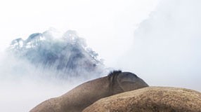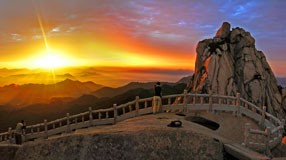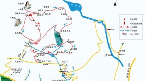
- Huangshan UNESCO Global Geopark
- Naturtejo UNESCO Global Geopark, Portugal
- Central Catalonia UNESCO Global Geopark, Spain
- Jiuhuashan UNESCO Global Geopark
- Yandangshan UNESCO Global Geopark
- Sanqingshan UNESCO Global Geopark
- Longhushan UNESCO Global Geopark
- Terra Vita UNESCO Global Geopark, Germany
- Huanggang Dabieshan UNESCO Global Geopark
- Fangshan UNESCO Global Geopark
- English Riviera UNESCO Global Geopark
- Guangwushan-Nuoshuihe UNESCO Global Geopark
- Zhijingdong Cave UNESCO Global Geopark
- Dali-Cangshan UNESCO Global Geopark
- Xiangxi UNESCO Global Geopark
- Yuntaishan UNESCO Global Geopark
- Linxia UNESCO Global Geopark
- Kanbula UNESCO Global Geopark
- Wudalianchi UNESCO Global Geopark
- Changbaishan UNESCO Global Geopark
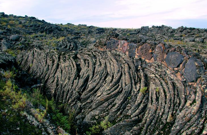
Located in the north-central part of Heilongjiang Province, at the transitional zone between the Xiaoxing'anling Mountains and the Songnen Plain, the geopark covers a total area of 790.11 square kilometers. Its primary geological features include: 14 isolated volcanic peaks, 11 shield volcanoes, and 8 scoria cone volcanoes; a lava plateau spanning over 800 square kilometers, dotted with rivers and lakes; and multiple natural cold mineral springs emerging at the surface. The iron-siliceous bicarbonate calcium-magnesium mineral water found here is renowned as one of the "World’s Three Great Cold Springs," alongside France’s Vichy Spring and Russia’s North Caucasus Spring.
The geopark features 14 volcanoes representing both ancient and recent eruptive periods. It preserves the world’s most complete, concentrated, diverse, and topographically typical assemblage of volcanic landforms from various geological epochs. Micro-landforms such as lava ridges, lava seas, lava waterfalls, lava tunnels, lava stalactites, elephant-trunk-shaped lava, ropy lava, volcanic vent structures (fumarolic cones and discs), volcanic lapilli, and volcanic bombs are prominently displayed. Scientists acclaim the area as a "Natural Volcano Museum" and an "Open Volcanic Textbook." The geopark’s name, "Wudalianchi" (Five Interconnected Pools), originates from its five bead-like lakes strung together—formed when lava from the most recent volcanic eruptions filled the vast ancient depression of Lake Wudelinchi.


