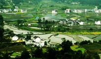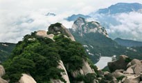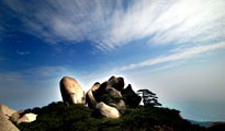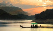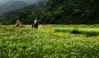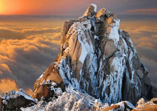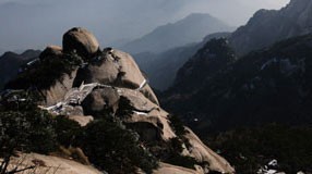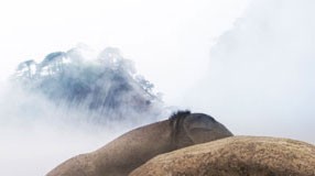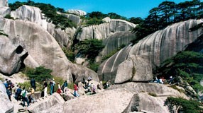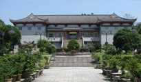
- Huangshan UNESCO Global Geopark
- Naturtejo UNESCO Global Geopark, Portugal
- Central Catalonia UNESCO Global Geopark, Spain
- Jiuhuashan UNESCO Global Geopark
- Yandangshan UNESCO Global Geopark
- Sanqingshan UNESCO Global Geopark
- Longhushan UNESCO Global Geopark
- Terra Vita UNESCO Global Geopark, Germany
- Huanggang Dabieshan UNESCO Global Geopark
- Fangshan UNESCO Global Geopark
- English Riviera UNESCO Global Geopark
- Guangwushan-Nuoshuihe UNESCO Global Geopark
- Zhijingdong Cave UNESCO Global Geopark
- Dali-Cangshan UNESCO Global Geopark
- Xiangxi UNESCO Global Geopark
- Yuntaishan UNESCO Global Geopark
- Linxia UNESCO Global Geopark
- Kanbula UNESCO Global Geopark
- Wudalianchi UNESCO Global Geopark
- Changbaishan UNESCO Global Geopark
TERRA.vita Geopark is located in
North-Western Germany in the transitional zone between the northern German
lowlands and the north-western hill country, at a distance of about 100
kilometers from the north sea coast and some 35 kilometers east of the Dutch
border. With an area of 1.220 square kilometers, the Naturpark is one of the
cross-border Parks of the Federal Republic of Germany. 901 square kilometers,
are located in Lower Saxony, in the district of Osnabrueck. The rest of the
territory, 319 square kilometers, are located in North-Rhine Westfalia in the
districts of Minden-Luebbecke, Herford, Gueterslohand the city of Bielefeld.
70% of the Natural Park are covered with forests, the other 30% are mostly used for agriculture.
Geologically, the Natural Park can be
subdivided in two regions: The northern part, the so-called
"Aenkum-Bippener Berge" or "Aenkumer Hoehe", represents the
western part of an altogether 40 km broad "End-moraine" with heights
above sea level of up to 140 m. This landscape was formed during the ice age and
its elevation is higher than the surrounding northern German lowlands. The
southern part of the park is classed as belonging to an average-mountain
landscape. Its subsoil consists of massive rock, that is covered by ice age
sediments in some places. The highest point of the average-mountain
landscape is the “Doerenberg” at 331m above sea level.
The "Aenkum Bippener
Berge":
This "Endmoraine" was
created during the Drenthe-stage of the Saale ice age. Experts classify it as
one of the most significant and best developed "End-moraines" of
North-Western Germany. During several ice advancements older subsoil material,
mainly clay sediments of the Tertiary age, were pushed together at the same
time as glacio-fluviatile material like sand and gravel was accumulated.
In the interior of the ridge, several
single ice-marginal grounds are visible. The "End-moraine"
was most likely superimposed by later ice advancements of the Saale-ice age. The
former tongue-like basin of the glacier between the eastern and western part of
the moraine is called "Artland" today. The surroundings of these main
glacial elements are mainly covered with ground-moraines, just a few glacial
outwashes are developed.
Average mountains:
From a geological-geographical
viewpoint, the southern part of the Nature Park belongs to the German
average-mountain landscape. As a wedge-shaped mountain-ridge this complex
separates the "Muensterland basin" in the south, from the
north-western lowlands. Geologists call this complex the North-Westfalian-Lippian
ridge, caused by tectonic folding and surrounded by a commonly horizontally
bedded, flat landscape.
This mountain-ridge represents a
geological anticline, characterized by several smaller sub-structures like
over-thrusts, faults, horsts, inferior anticlines and uplifts. Outside the
anticline, erosional processes and the influence of glaciation
during the ice ages in particular created the morphology of today.
The southern area of the Nature Park can be further divided into three different geological-geomorphological entities. The northern edge is formed by the "Wiehengebirge" and the "Wesergebirge", it consists of Jurassic rocks. The crest of the central mountain chain is made up of Upper Jurassic sand- and limestones. One of the most famous Geosite (or "Geotop"), the "Dinosaur Footprints of Barkhausen" is located in these layers. In the southernmost part of the Park, outcrops of Middle and Lower Jurassic rocks can be found that consist mainly out of soft shaly claystones, often interspersed with clay-iron concretions.
Contact:
Naturpark TERRA.vita:
Am SchBerberg 1
49082 Osnabrück
Telefon: 05 41 / 501 42 17
Telefax: 05 41 / 501 44 24
eMail: info@naturpark-terravita.de


